Getting around Palma
Using Google Maps is the best way to help you to get around. There are so sooo many streets and alleyways within a pretty intricate system, that a paper map would cause a bit of a strain. Being able to get directions, and compare walking, driving, and transit options makes planning much easier.
The WKDY Wanderer Member platform gives you access to custom Google Maps to help you to navigate your way around the island. Think of these as your own personal maps of Palma and Mallorca, showing you the locations of everywhere that is worth visiting.
The custom maps include all the cafes and restaurants I mention in the guide (more actually), as well as shops, beaches and beach clubs, historical sites and destinations that might be of interest to you.
Once you are connected to the WKDY Studio Palma and Mallorca Google Maps, each of our recommended locations and their location markers will auto-populate within your own Google Maps network.
When you are in your Google Maps app, you will be able to find shops, cafés, restaurants, and destinations that are close to you, wherever you happen to find yourself. You won’t miss out on anything worth exploring.
-
Through the WKDY Wanderer Member platform, you can access searchable Directories and customized Google Maps Lists for Palma, as well as for surrounding towns in Mallorca.
-
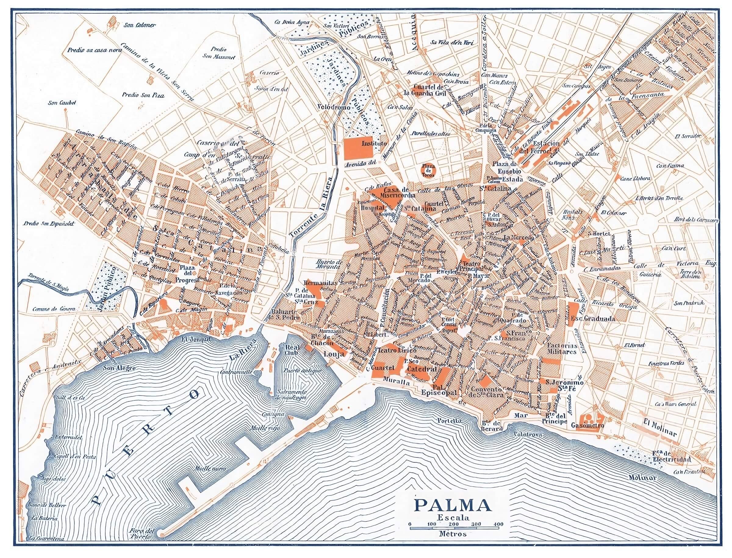
1920s Palma with Santa Catalina
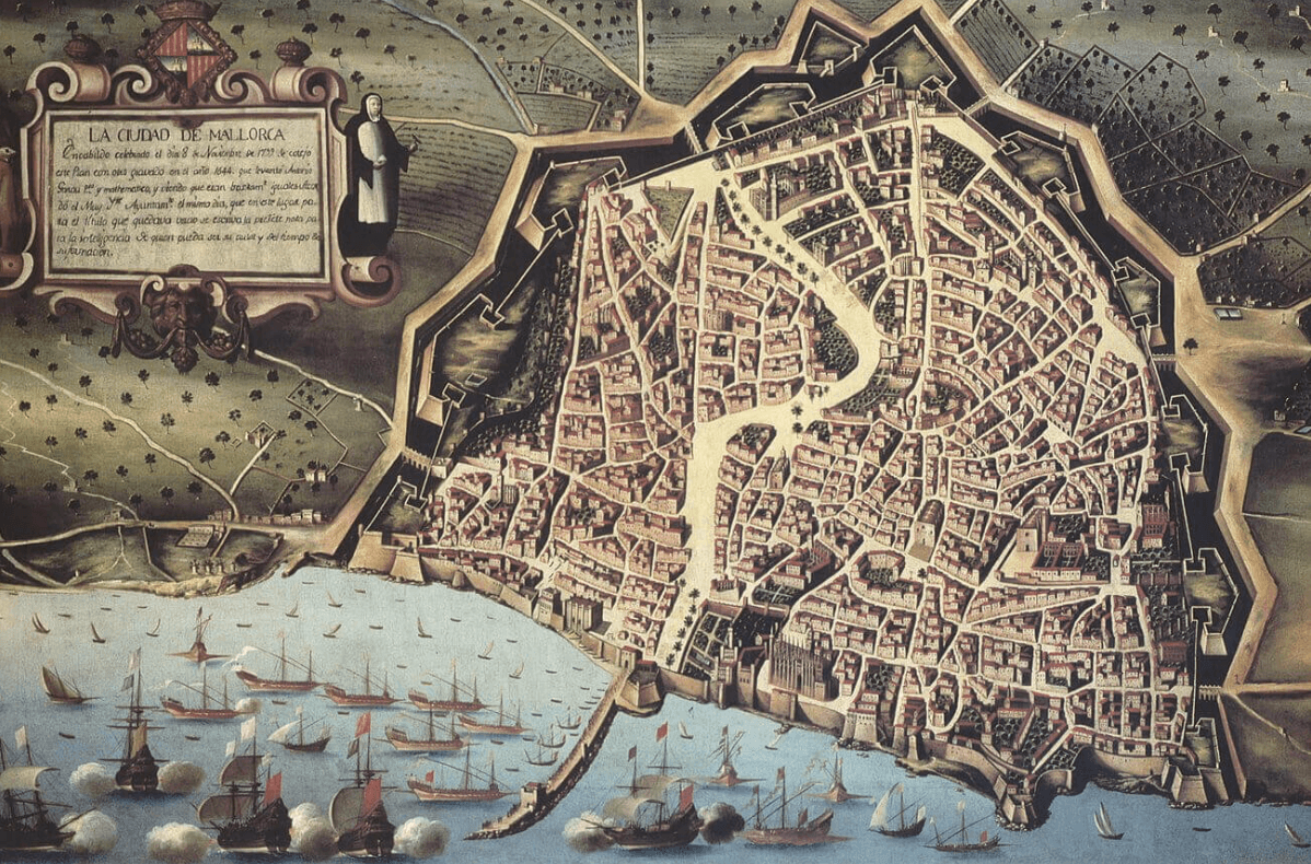
1799 Majorca (which is now known as Palma) during the War of Spanish Succession
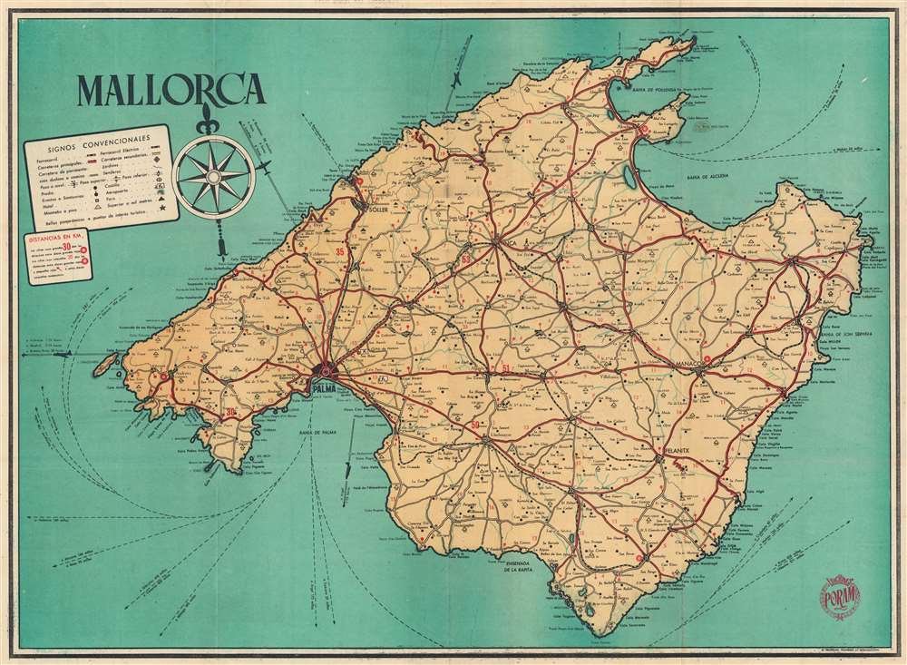
1950s Mallorca Tourist Map